Rapid City’s First Freeze Arrived Oct. 16, More Than Two Weeks Later Than Average, and the Weather Service Said Covered Gardens Had About One More Week
Twenty-eight degrees. That is the reading Rapid City Regional Airport hit before 7 a.m. on Friday, Oct. 16, ending a growing season that had run well past its usual close, KOTA reported. Downtown Rapid City dipped to 32 degrees the same morning. The first freeze landed more than two weeks after the airport’s average date, and the National Weather Service said gardens that were covered that night had about one more week left in them.
Seventeen days past the Sept. 29 airport average
The airport’s average first freeze falls on Sept. 29, based on records that go back to 1948, according to figures from the National Weather Service office in Rapid City cited by KOTA. This year’s arrived on Oct. 16, 17 days late. The latest first freeze on the airport’s books came on Oct. 27, 1963.
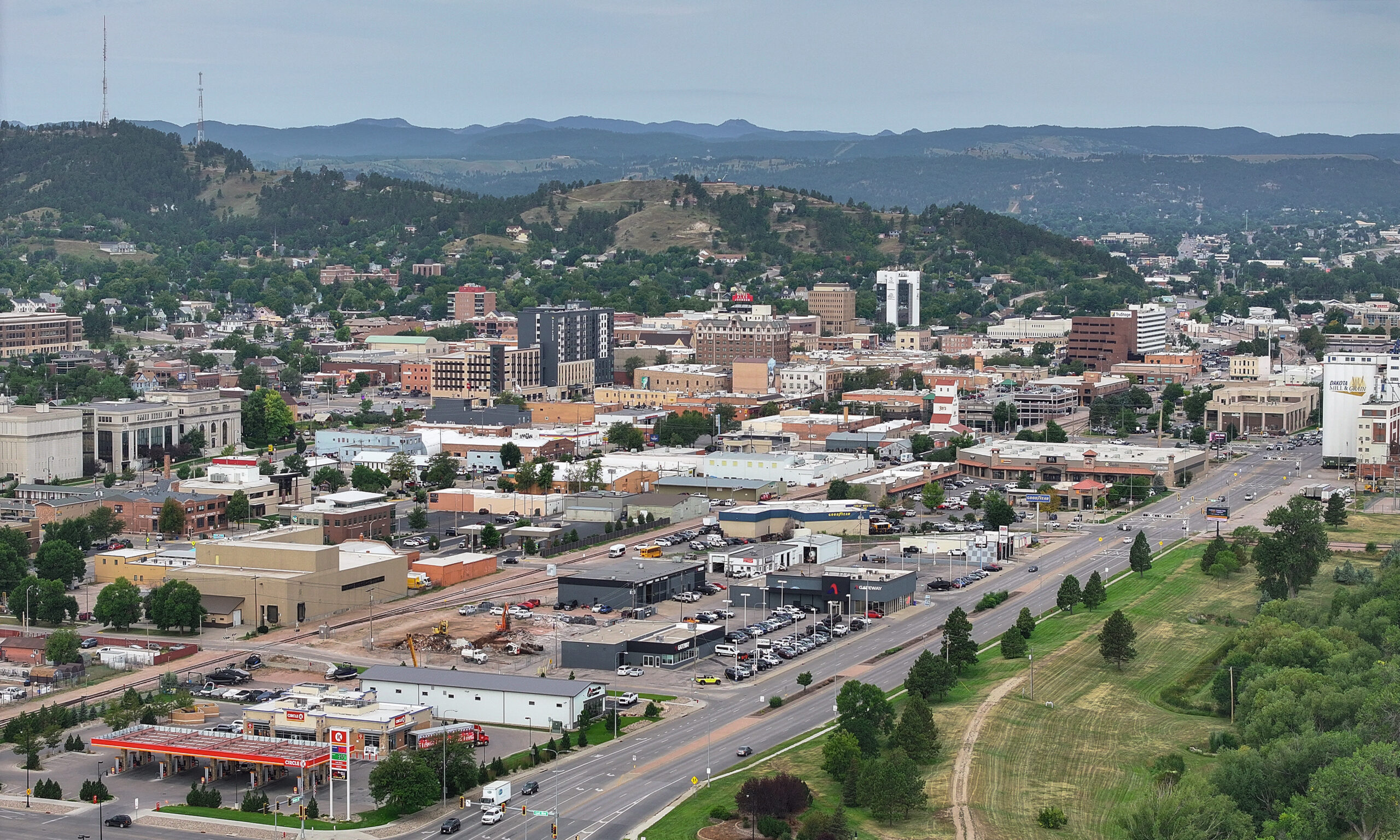
Dave Hintz, the meteorologist in charge at the Rapid City office, told the station the freeze came more than two weeks late at the airport. Downtown, where records only go back to 1996, the average first freeze is Oct. 10 and the latest on record is Oct. 31, so the city center was closer to its normal timing than the airport.
The daily weather record for the airport station kept by Iowa State University’s Iowa Environmental Mesonet lists a low of 27 degrees for Oct. 16, the first sub-freezing reading of the month. Every low from Oct. 1 through Oct. 15 stayed at 39 degrees or warmer, and the airport hit 93 degrees as recently as Oct. 9.
September offered no early warning either. The Weather Service’s monthly climate summary for the airport shows the coldest September reading was 41 degrees, on Sept. 15, with no days at or below freezing.
State Climatologist Laura Edwards of SDSU Extension told KOTA that most of South Dakota typically reaches 32 degrees by about Oct. 2 or 3, and that the state ran about two weeks behind normal this fall.
The colder 28-degree mark usually arrives in northwestern South Dakota by about Oct. 4 and across the state as a whole by about Oct. 12, Edwards said. On the morning of Oct. 16, parts of northwestern South Dakota fell into the mid-20s, while clouds and wind kept other spots warmer, which is why readings varied so much from one town to the next. KOTA’s weather graphics showed the airport touching 27 degrees for a short time before temperatures climbed again. The day’s high at the airport, according to the Mesonet record, was 63 degrees.
A brief dip, not the 28-degree hard freeze
The difference between a frost and the kind of cold that ends a garden for the year comes down to how long the temperature stays down. A hard freeze means roughly 28 degrees for several hours, KOTA explained. The Oct. 16 freeze was a short drop early in the morning, followed by a quick recovery.
The Weather Service draws the same line in its own definitions for cold-weather alerts: a freeze warning is issued when temperatures are expected to fall below 32 degrees for a long period, and temperatures below 28 degrees for an extended time can kill most commercial crops and residential plants.
Because the dip was brief, Hintz said gardens that were covered could get about another week, describing it as a one-week reprieve. The Rapid City office also generally does not issue frost or freeze warnings for the Black Hills, KOTA noted, so gardeners in the hills tend to watch the forecast lows on their own. South Dakota State University’s Mesonet at SD State, the state’s live weather network, posts frost and freeze maps and daily station summaries that show how cold individual towns got overnight.
Tomatoes and beans got a late second wind
The long, warm fall gave some vegetable beds a comeback. Edwards said a July heat wave caused some tomato flowers to drop, but moisture in September brought a late resurgence of blooms and fruit.
Indeterminate plants such as tomatoes and some beans can keep producing as long as the cold stays mild, she said. Squash, melons, onions and potatoes were largely finished by the time the freeze came.
Farm fields felt the late season too. Winter wheat needs roughly four to six weeks to establish before frost, according to the KOTA report, and a hard freeze can knock back grasshoppers and mosquitoes. Freeze-damaged sorghum can carry prussic acid, which can quickly sicken livestock, so extension guidance includes moving cattle off affected forage.
What the airport thermometer has shown since Oct. 16
The week Hintz described has now come and gone, and the airport has stayed just above that 28-degree line. According to the Iowa Environmental Mesonet record, the coldest airport lows after Oct. 16 were 29 degrees on Oct. 17, 32 on Oct. 19, 29 on Oct. 24, and 31 on each of Oct. 25, 26 and 27. Oct. 28 bottomed out at 34.
None of those nights matched the 27-degree reading from Oct. 16, and none reached 28 or lower. Oct. 26 was the coldest day of the stretch overall, with a high of only 35 degrees.
Readers who are putting beds to rest for the winter can find more on protecting young trees from frost cracks and choosing a winter mulch on this site.
Drought still sits under Black Hills gardens
The late freeze did not fix the region’s water problem. Supplies remain low, including at Angostura Reservoir, KOTA reported. Edwards described fall moisture as refilling a “savings account” in the soil, but said drought could persist into January. SDSU Extension keeps its fall drought guidance, including material for gardening and landscaping, on its drought resource page.
She also cautioned against reading the late first freeze as a winter forecast. El Niño and the long-term trend toward warmer winters are more useful guides, Edwards said, though short cold outbreaks can still happen.
Hintz pointed out that colder nights and shorter days are on the way as November approaches. The reprieve he described has already run its course, and cold-weather gardening tips can help with what comes after.
Get stories like this by email. Sign up for The Parent Diaries Letter.
This article was produced with AI assistance and edited for accuracy against the sources linked above.
Image: Quintin Soloviev, CC BY 4.0, via Wikimedia Commons